Usage Examples#
More complex examples showing GeoCAT-viz functions and classes being utilized in real-world use cases can be found at GeoCAT-Examples gallery. Each utility function has linked usage examples on their documentation pages.
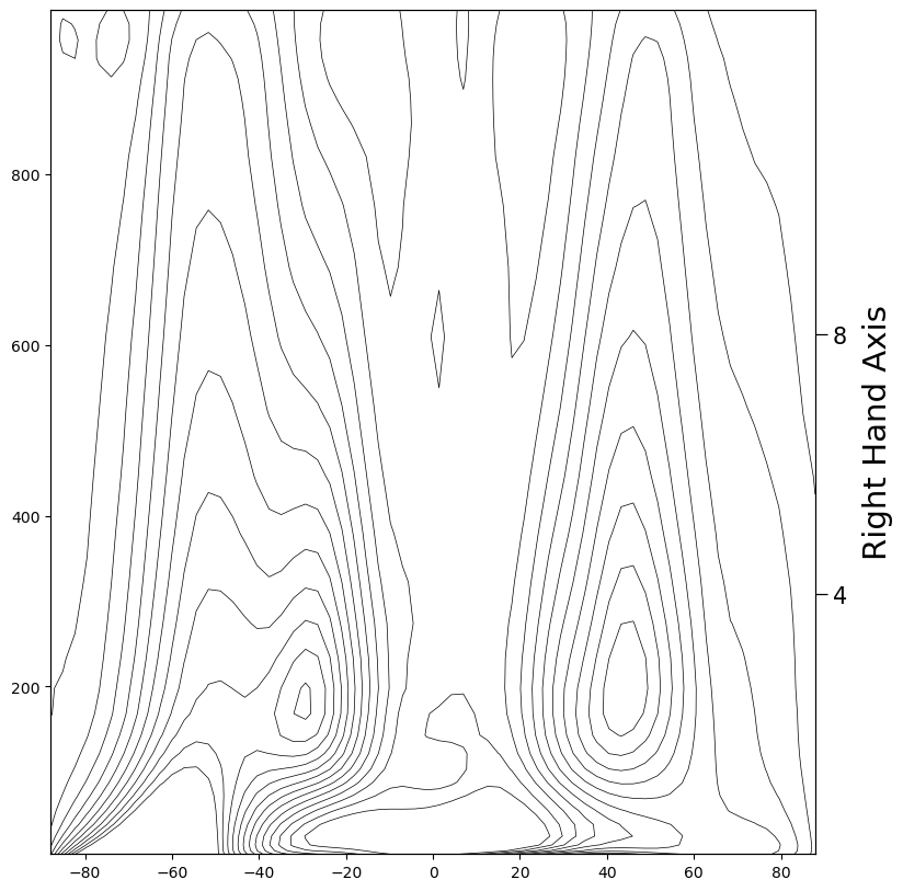
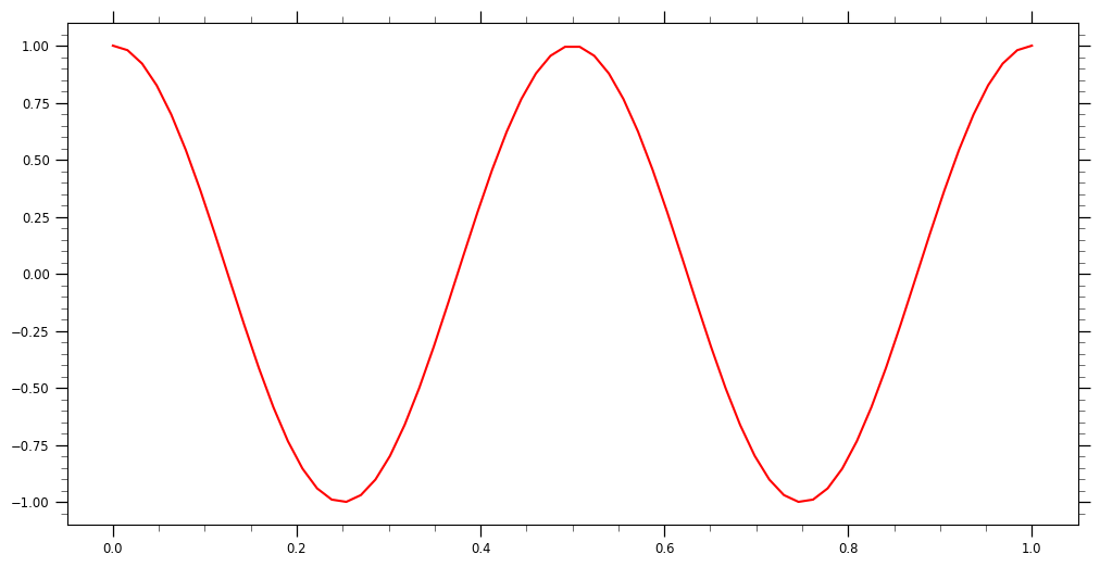
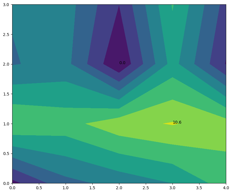
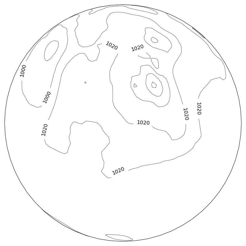
Here are some examples of how to use geocat-viz.